Map (Outdated)
Please click the “Map-Live” link above or go to the New Map starting 2026
Filter by tree type:
Interested in a seasonal tour? Read one of our guides to a spring color walk, a summer color walk, a fall color walk, and an evergreen walk.
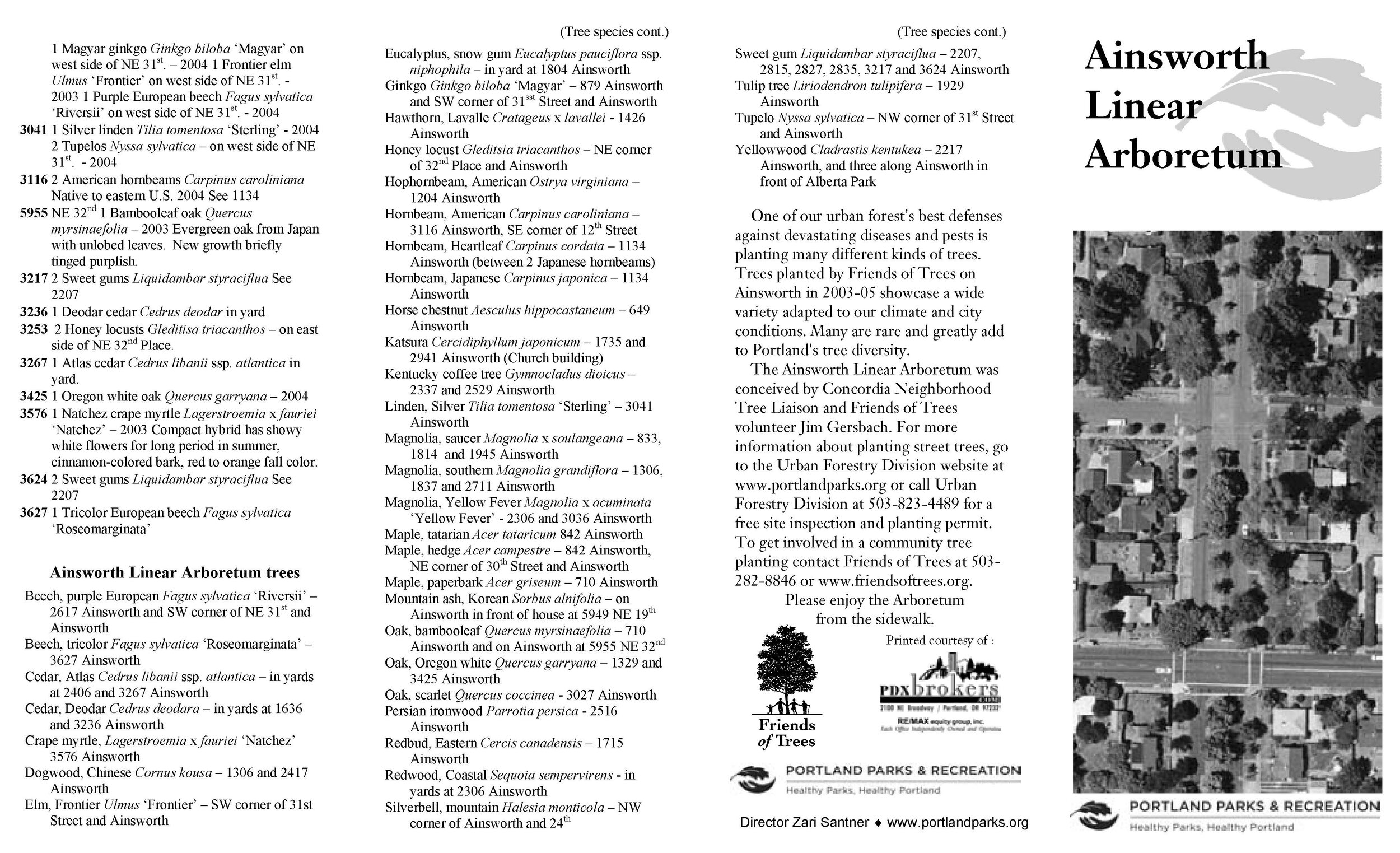
In addition to the interactive map above, check out this 2-page map originally printed by the City of Portland.
Looking for more detail on trees beyond the Arboretum? From 2011 to 2016 Portland Urban Forestry inventoried street trees over the whole city, mapping more than 200,000 to the genus level or better. Note that records for the Linear Arboretum are more detailed - usually down to species and often to the cultivar level - and current as of January 2022. Take a look at this interactive GIS tree inventory map from the City of Portland.
Do you have a favorite tree, or a story about the neighborhood that connects to the Arboretum? Let us know.